


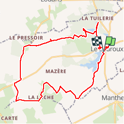

17 km | 18,3 km-effort

Usuario

Aplicación GPS de excursión GRATIS
 SityTrail
IGN / Institutos geográficos
SityTrail World
El mundo es suyo
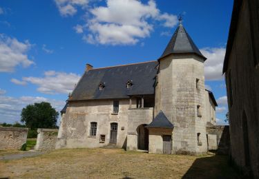
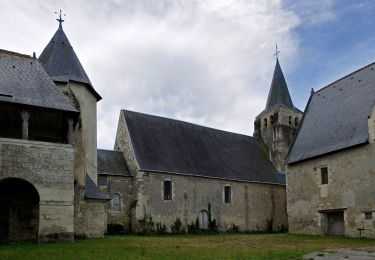
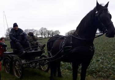
Ruta Senderismo de 21 km a descubrir en Centro, Indre y Loira, Le Louroux. Esta ruta ha sido propuesta por fustier.
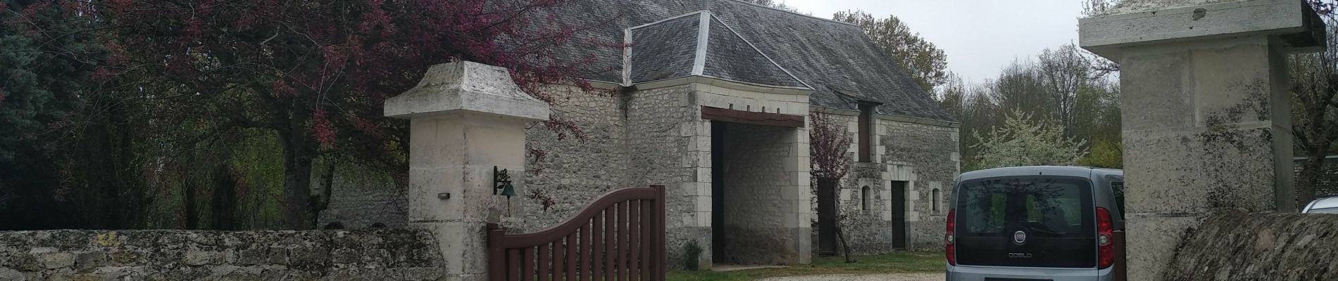
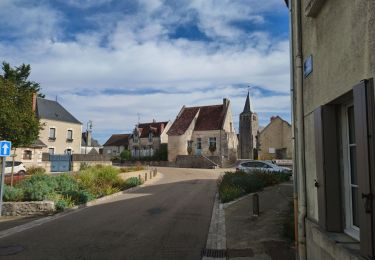
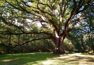
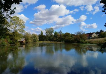
Le Louroux est un espace naturel bien aménagé pour regarder les oiseaux. la randonée ce termine par la visite du prieuré et du moulin dit "banal"


Senderismo
Senderismo
Senderismo
Senderismo
Senderismo
A pie
Senderismo

Senderismo

Bici de montaña